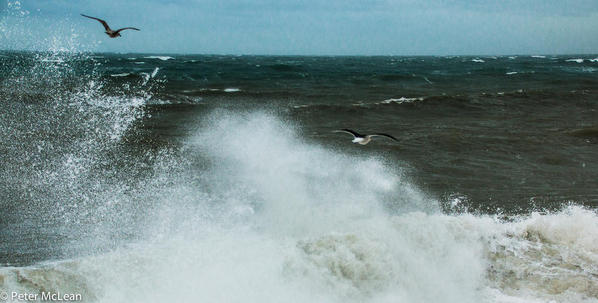
Some 5 miles to the south-west of Weymouth is Portland Bill, a narrow promontory (or 'bill') at the southern end of the Isle of Portland, and the southernmost point of Dorset, England. This point of Portland bears the brunt of the many storms that roll in off the Atlantic. Both Portland Bill and Chesil Beach (the natural 45-foot-high pebble beach that connects Portland with the mainland and Weymouth town) are the locations of many wrecks of vessels that failed to reach Weymouth or Portland Roads.
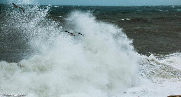
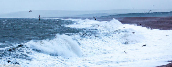
This morning there was a breeze and a high tide together that made it a good reason to shoot a few pics for Travel Gumbo.
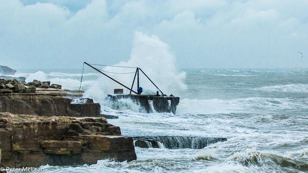
This old crane on the edge of the Bill's cliffs was once used to winch the famous yellow Portland stone into waiting barges for their journey to London where they then became part of the magnificent St. Paul's Cathedral and the British Houses of Parliament.
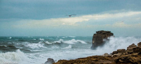
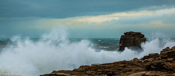
Turn a few yards to the right and there is the 60 foot high artificial stack of rock known as Pulpit Rock that was left in the 1870s after a natural arch was cut away by quarrymen at the Bill Quarry on the headland of Portland Bill. It was intentionally left in place as a quarrying relic.
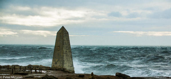
Close by there is the Trinity Obelisk a 7 metre (23 feet) tall white stone obelisk which was built in 1844 to warn ships of the rocks off the coast of Portland Bill during the daytime. It also acts as a warning of the low shelf of rock extending 30 metres (100 feet) south into the sea.
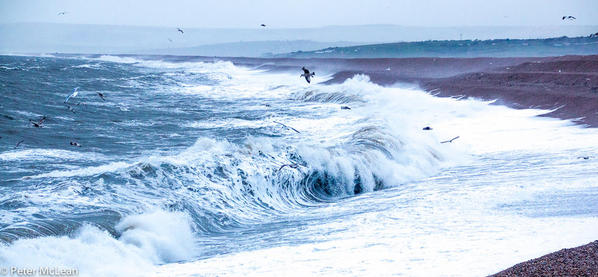
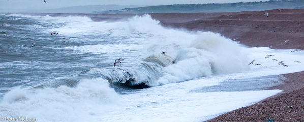
Between the promontory of Portland and the mainland lies Chesil Beach a 45 feet high natural pebble barrier beach which has "rolled" landwards, joining the mainland with the Isle of Portland. Today's waves were quite impressive - but far from the biggest waves to roll into this beach!





Comments (2)