Where Gumbo Was (#261)
San Francisco's Land's End, with its dramatic name, is home to some pretty dramatic scenery, too. Hugging the Pacific coast and the southern shore of the Golden Gate, it is part of the Golden Gate National Recreation Area.
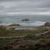
In its present life, it's a series of trails and views, looking out toward the ocean, and along the rocky shore, and rewarded at the last turn in the trail with a view, misty on our visit, of what wasn't there when Land's End first became an attraction for visitors and locals: the Golden Gate Bridge.
It's not only familiar to many, but even with only minimal views in the clues, it was recognizable to PortMoresby, George G and Jonathan L. Congratulations!
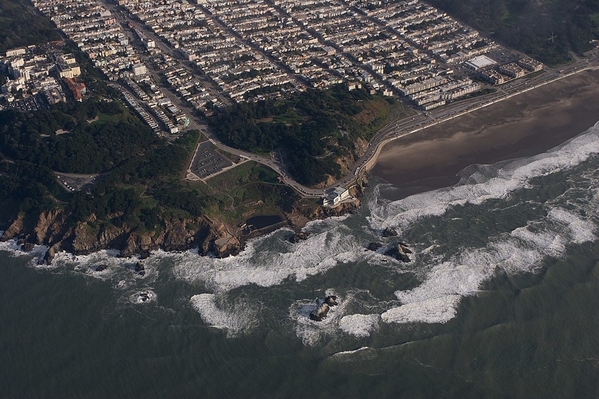
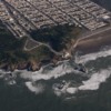
It's a great place for views of birds and flowers, of trees bent to the wind, especially the cypresses, and to look out over the ocean. Although it's just on the edge of more developed parts of the city, as you can see in this aerial view, it actually seems quite isolated.
Early Spanish colonizers named the area Puente de los Lobos, or Wolf Point, after the 'lobos marinos' that we call sea lions rather than sea wolves, and which congregated in large numbers at the foot of the cliffs. The area remained undeveloped for another century or so, until San Francisco mushroomed after the Gold Rush.
In 1863, developers built the original Cliff House restaurant, right near the present Land's End visitor center, advertising dinner with views. A bit later in the century, in the 1890s, Adolph Sutro acquired a chunk of the land and added the Sutro Baths (filled with tidewater), Sutro Pleasure Grounds, Sutro Heights Gardens (get the pattern?) and rebuilt the Cliff House.
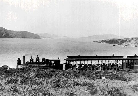
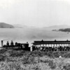
But it was still not an easy place to get to from downtown San Francisco and the ferries, so Sutro added a small steam railroad that ran along the cliffs, with two tunnels and a few scenic stops along the way to the Cliff House.
The path from the Cliff House area to the Golden Gate follows what's left of the original railbed. In 1905, it was replaced by an electric trolley; in 1925 a landslide damaged so much of the route it was abandoned to pedestrians.
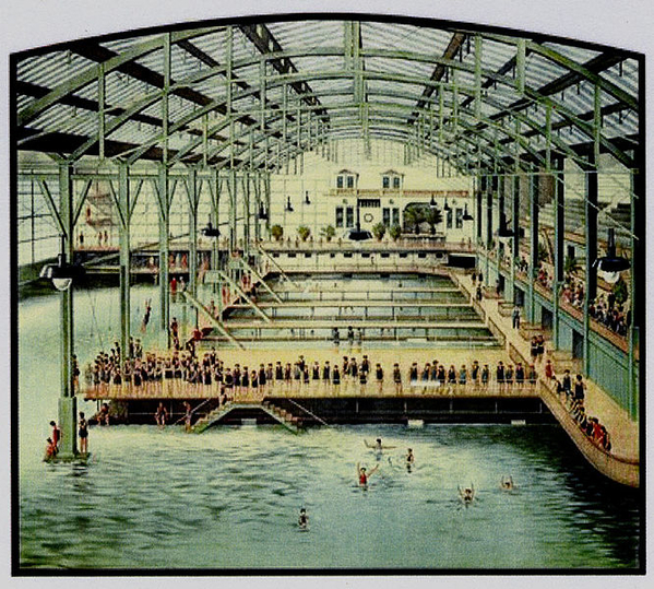
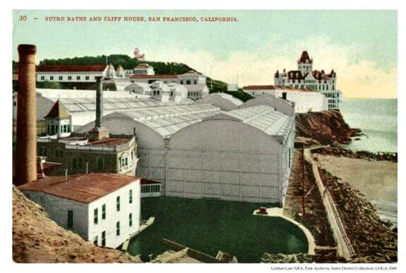 The baths, said to be the largest saltwater complex anywhere, closed in 1966 and burned to the ground only months later (some say suspiciously). A plan to use the site for housing and a shopping mall led to protests and the site became parkland instead. Nothing remains except concrete walls and some under-surface machinery. But Edison was there with his movie cameras.
There's far more to see and walk through at Land's End than we had time for, especially as it was intermittently raining. There are a few challenging walks, including to the USS San Francisco Memorial, but there are extensive paths, including the old rail trail that are easier and even wheelchair-accessible. On a brighter sunnier day with less wind, it could be a plan for an entire day.
The retaining wall at the right, above, is a remnant of the old railroad.
Aerial View of Lands End: David Brossard/Wikimedia



Comments (0)