
This is a travel blog that took a detour into a history lesson.
If they had no other significance than being spectacular scenery close enough to visit from Washington, D. C., the parks at the Great Falls of the Potomac would be worth visiting—but as I found on a recent visit, it has little-known but fascinating connections going back to the years just after the Revolution.


Note that I said 'parks.' What's generally just referred to as Great Falls actually includes a footprint on the Virginia side of the Potomac, the falls, and a section of the Chesapeake & Ohio Canal National Historical Park on the Maryland side. Although the two are only a hundred or so yards apart as the crow flies, for humans it's about a twenty-minute drive.


Despite its popularity today with kayakers who paddle into the pulsing stream, against the current, and wait for the water to give them a wild ride back to the beginning of their loop, it's clear that there is no way for boats carrying freight or people through the falls, which drop 73 feet over less than a mile of river.


The Virginia side has trails down to the river and to canal remnants but the terrain is challenging along the viewing areas, but views are spectacular.
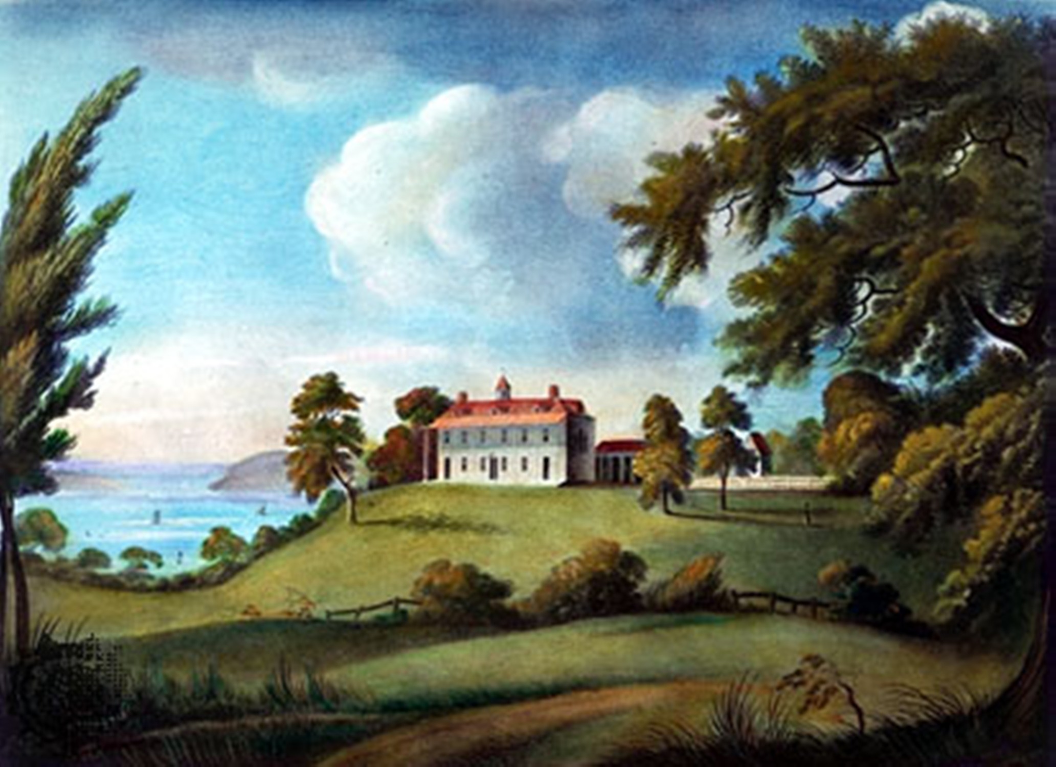
And that's where George Washington joins the story. His plantation, Mount Vernon, is perhaps twenty miles down the river, and he had extensive commercial interests throughout the region—and, after the Revolution, an interest in binding the areas in and beyond the Alleghenies to the new and largely coastal nation.
His plan was to "bind those people to us by a chain which never can be broken. The way is easy and dictated by our clearest interest. It is to open a wide door, and make a smooth way for the produce of that Country to pass to our Markets."

As spectacular as the falls are, they can also be unpredictable, as these Virginia side high-water marks side show. These are after the water rose over the 20+-foot banks of the river.
The first picture below shows the park at the 1996 mark, when a 2-day January blizzard was followed by two days of warm weather. The second is from March 15, 2010, with the spring runoff of a snowier winter filling the gorge.

The river, reaching well inland on the way to Ohio and beyond, seemed the obvious "door"— except for its 200-foot drop between Cumberland, Maryland and the Washington area. The answer was to skirt the falls with a series of canals, and Washington made it his business—literally—to make that happen. The arrangements needed for his Patowmack Canal Company helped lead to the Constitutional Convention of 1787.

Along the path, an extensive vine gets a free ride on a tree
As a Virginia man, he and his fellows planned a canal on the Viriginia side of the river, but they quickly realized that they'd need to involve Maryland as well, because, in reality, there is no Virginia side; the state ends where the water begins, and the whole river belongs to Maryland.
 So once his fellow investors made him company president in 1785, he called a meeting of official delegates from the two states at Mount Vernon and helped craft the Mount Vernon Compact—the very first interstate compact; among other provisions, the two states agreed not to tax or limit each other's access to river trade.
 The Annapolis Convention, officially 'Meeting of Commissioners to Remedy Defects of the Federal Government,' met for three days in a tavern.
After the two states ratified the agreement, they then invited all thirteen states to a meeting in Annapolis in 1786 to "consider how far a uniform system in their commercial regulations may be necessary to their common interest." After discussion at this Annapolis Convention, the delegates called for a further meeting the following May to discuss other changes in the Articles of Confederation. Instead, when they met, the delegates created the Constitution.

All in all, that may have been the easy part. The Patowmack Canal was actually a series of five canals at different points along the river; three of them required locks to bypass rapids, the first canal locks in America. And at Great Falls, the canal and the spaces for the locks had to be blasted and dug through steep rocky cliffs along the falls. The work took seventeen years, finishing in 1802.
The canal was busy for several years, despite a number of problems including low water in the summer and high water in the winter which meant the canal actually operated only a few months a year. Rival developers began working on another canal to be built on the Maryland side, with better-developed plans for managing water levels; in New York, the Erie Canal from New York to the Great Lakes created a powerful rival.

By 1828, the Patowmack company folded, never having made a profit in its history. Its assets were sold to the new Maryland-based Chesapeake and Ohio Canal, which reused parts of the company's other four canals upstream as part of their new canal, which operated up to 1934, and is now the basis of the other side of the Great Falls parks, and a segue to the rest of my visit.
 On the Virginia side, there are interesting exhibits in the Visitor Center, exploring not only the history of the Falls, and the canal, but of the people who inhabited the area over thousands of years—and a series of provocative questions about what we really want from the land now.

Crossing to Maryland, the Park's entry is at a building that once served as a canalside inn and home to the lock-keepers who maintained the locks, passed boats through, and collected tolls. These days, it's a park service building, and home to even more exhibits.
 When I visited in early March, this stretch of the canal had been de-watered to allow maintenance and construction of new lock gates to replace some that had deteriorated.


In season, the canal has water, canoe rentals, an excursion boat or two like the one in the photo below, and is a popular hiking trail. Not too long ago, most of it was abandoned and derelict before coming under control of the National Park Service.

From the Maryland side, there are bridges and walkways to an island in the stream, allowing visitors to walk out to within easy sight of the Virginia shore, and to observe some of the smaller falls at close hand.

 Admission to the Great Falls parks comes at a fee, paid on either side and valid on the other as well. The rate for a car and its passengers went up to $20 this year, $15 for motorcycles and $10 if you're on foot, bicycle or horseback. If you have a National Park Service annual or senior pass, you're in free.

For now, the parking lots and visitor centers are closed, but when they re-open it will still not be easy to get there without a car (or horse or bike). The nearest Metro station on either side is about five miles away, and taxis are the only real option from the train.


Comments (0)